Walk Great Yarmouth to Lowestoft along a coastal path that stretches approximately 17 km, offering a mostly flat trail with some low cliff passages. This route is ideal for hiking enthusiasts who seek scenic views of England’s East Coast, combining paths, pavements, and beaches with accessible public transport and parking at both ends.
Step-by-step guide for the coastal path between Great Yarmouth and Lowestoft
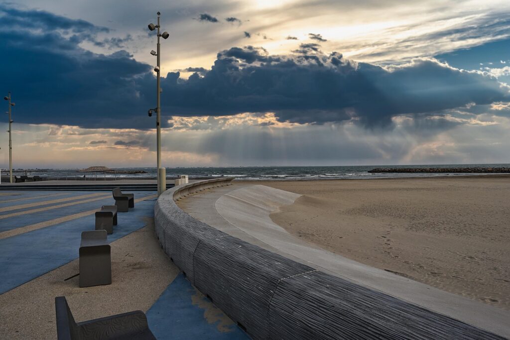
The walk starts at Lowestoft’s Euroscope center, heading north next to the beach and cycle path. This area is notable for its developments in renewable energy and historical porcelain manufacturing, with artifacts displayed in local museums.
Proceeding from Lowestoft, hikers enjoy mostly flat terrain and dry weather conditions typical of this part of England, ideal for outdoor activities. The trail turns inland toward Corton, where you can pass a large holiday park called Pleasurewood Hills.
From Corton, the path runs along the cliff tops northward, though be prepared for possible diversions due to ongoing cliff erosion—always a quirk of coastal hiking! The route then brings you to Hopton-on-Sea, a holiday village famous for hosting world indoor bowls championships and the former home of comedians like Joe Pasquale.
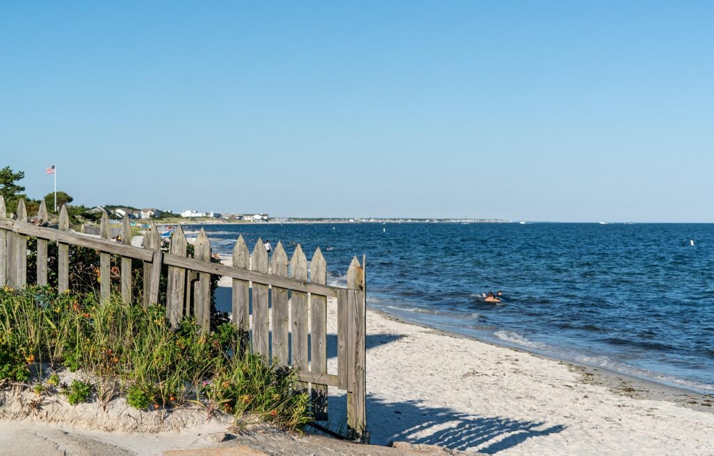
Crossing the county border into Norfolk south of Hopton, you’ll walk beside a golf course until reaching Gorleston Cliffs and the town of Gorleston-on-Sea. Once a herring fishing hub, the town still flaunts its Edwardian architecture and tranquil beaches.
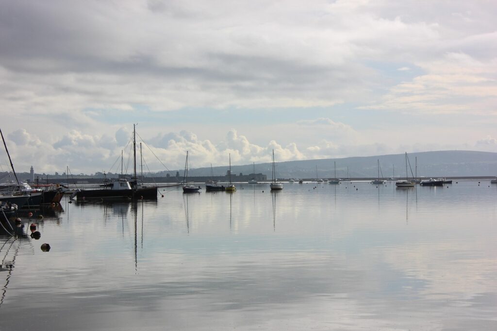
Finally, the path follows roads near a long water channel into Great Yarmouth, where a lively town awaits exploring, including attractions like the hidden gardens of Great Yarmouth and historic piers.


Essential tips for a successful hike along the Great Yarmouth to Lowestoft coastal path
- 🚌 Use the frequent bus service (1/1A) connecting Great Yarmouth and Lowestoft for flexible start and end points.
- 🅿️ Parking is available at both trailheads for those driving.
- ⚠️ Watch out for cliff erosion causing occasional detours, especially north of Corton.
- 🍃 Take advantage of dry weather but prepare for coastal winds and sun exposure.
- 📍 Bring detailed maps or GPS, for example the Ordnance Survey Map L/R 134.
What makes this coastal path a unique hiking experience in England?
The route combines natural beauty, cultural heritage, and leisure amenities. Starting in Lowestoft, England’s most easterly town, hikers witness modern renewable energy installations alongside historical sites. Passing through family-friendly holiday parks and quaint fishing villages, it’s a walk that marries relaxation and discovery.
Great Yarmouth, viewed across the water near Gorleston, offers a glimpse into Edwardian seaside glory days. The town’s mix of entertainment options and historic landmarks ensures the hike doesn’t end with just natural scenery but cultural indulgence as well.
For those interested in more local insights and related walks, explore guides on walking the coast from Great Yarmouth to Lowestoft or discover the history of Little Yarmouth.


Detailed itinerary and key points along the Great Yarmouth to Lowestoft coastal path
| 📍 Location | 🛤️ Distance from start | 🌟 Highlights | 🛑 Notes |
|---|---|---|---|
| Lowestoft Euroscope | 0 km | Coastal cycle path, beach access, renewable energy projects | Starting point with parking and public transport |
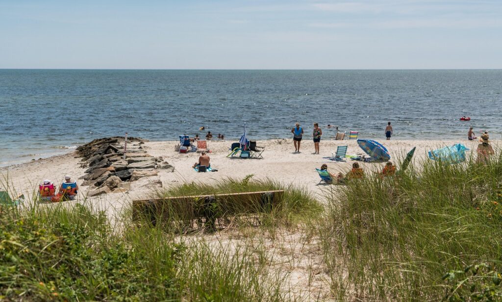
| Corton | 7 km | Holiday park (Pleasurewood Hills), former nudist beach | Trail goes inland here; road walk to Corton |
| Hopton-on-Sea | 11 km | Holiday villages, World Indoor Bowls Championships site | County border with Norfolk nearby |
| Gorleston-on-Sea | 15 km | Edwardian seafront, beach, former herring fishing town | Quieter seaside town with historical charm |
| Great Yarmouth | 17 km | Lively seafront, piers, gardens, museums | Trail ends; town has train and bus connections |


Coastal path challenges and advice for hikers
The Coastal Path between Great Yarmouth and Lowestoft is delightfully flat for most of the way, but the trail can be frustrating due to dangerous cliff erosion leading to diversions onto roads or beaches. This is a natural but evolving factor that hikers must plan for before setting out.
Weather can change swiftly along this coast, so it’s wise to pack waterproof garments alongside sun protection. Also, keep an eye out for holiday traffic near resort villages, especially in summer.
For more structured walks and tips on navigating local transportation, the nearby Norfolk Broads boat trips offer another way to explore the surrounding waters.


Checklist for your Great Yarmouth to Lowestoft coastal hike 🥾🌅
- ✔️ Plan your route carefully with updated maps and GPS
- ✔️ Check weather forecasts and tide times
- ✔️ Pack layers, sun protection, and waterproof clothes
- ✔️ Prepare for possible cliff path diversions
- ✔️ Use public transport or arrange parking at start/end points
- ✔️ Bring water and snacks — few shops along the way
How long does it take to walk from Great Yarmouth to Lowestoft?
Typically, the 17 km coastal walk takes about 4 to 5 hours depending on pace and stops along the route.
Are there any tricky sections on the coastal path?
Yes, cliff erosion creates occasional diversions onto roadways or the beach, so remain vigilant and follow updated signage.
Is the route accessible by public transportation?
Absolutely. Both Great Yarmouth and Lowestoft have train stations, and a regular bus service connects the two towns daily.
Are dogs allowed on the walk?
Dogs are welcome on many parts of the coastal path, but be aware of local restrictions especially near holiday parks or nudist beaches.
What’s best time of year to hike this trail?
Spring through early autumn offers the best weather and longer daylight hours for hiking the coastal trail comfortably.